
Update: Brooke Fire 30% contained, most evacuations lifted
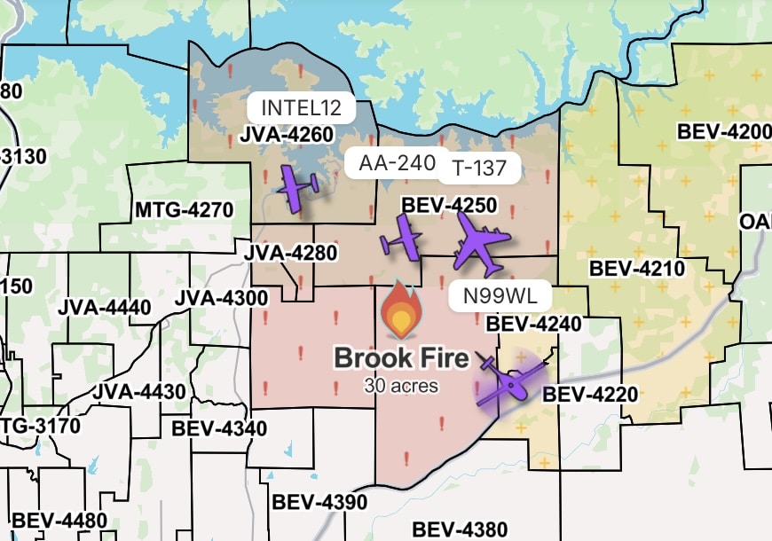
After several days of efforts CAL FIRE is now reporting 30% containment of the vegetation fire, which started Saturday.
Updated July 20, 2026 9:57 a.m.
The Brook Fire, which has grown to 502 acres, is now also 30% contained.
That’s according to a morning update by CAL FIRE. The vegetation fire started on July 16, threatening multiple structures and prompting evacuations across a swatch of zones in the Bella Vista area.
Most evacuation orders have now been lifted, with only BEV-4250 remaining.
Another zone, BEV-4370 is under an evacuation warning.
For those at risk, the best source for urgent information are CAL FIRE, the Shasta County Sheriff, Watch Duty and the Genasys Evacuation Map.
This is a developing story.
Do you have a correction to share? Email us: editor@shastascout.org.
Author

Related Articles
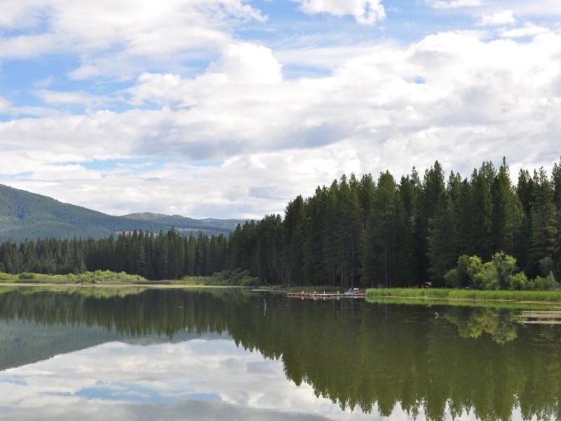
Saving Lake McCumber: Community members fight to preserve a small dam in Shingletown
A beloved lake is facing an unclear future in Shingletown as PG&E prepares to pull out of the Battle Creek Hydroelectric Project, which could include removing the dam that forms McCumber reservoir. A group of local residents that hopes to save the lake will face a multitude of environmental, cultural, financial and regulatory complexities to do so.
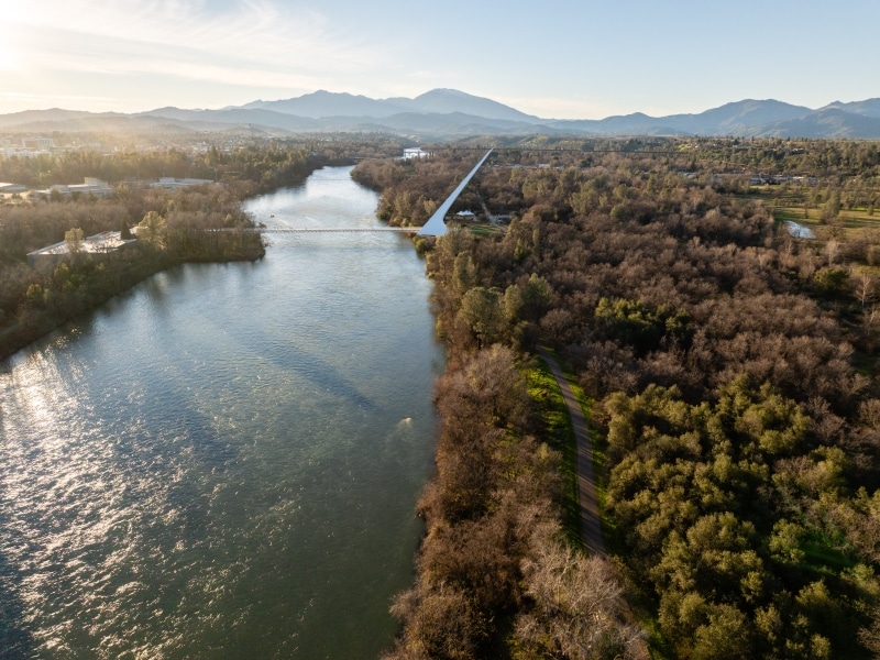
Road closures, special events and thousands of tourists: Here’s what to know about Ironman weekend
The Ironman triathlon will be held in Shasta on Aug. 16, and it’s expected to draw thousands of athletes, supporters and staff. Traffic impacts will largely be felt Sunday morning, but community events will be held throughout the weekend.
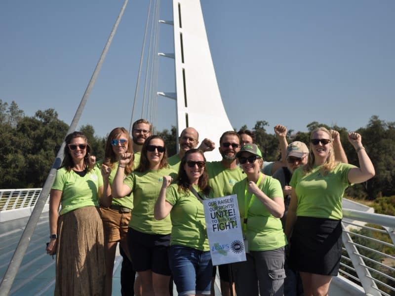
‘The work I do matters’: California Fish and Wildlife environmental scientists rally for telework and raises
State workers across California have rallied over the past year to protest against Newsom’s mandated RTO, or return to office. A group of environmental scientists based in Redding are part of the fight.
Comments (0)
There are no comments on this article.